• Français
  • Deutsch
  • English

Winter precipitation and the risk of flooding

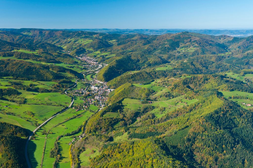
Winter precipitation is the total precipitation during the months of December, January, and February. All forms of precipitation (rain, fog, hail, sleet, etc.) count towards this total.


NILS RIACH, NICOLAS SCHOLZE, RÜDIGER GLASER, SOPHIE ROY & BORIS STERN
Physische Geographie, Universität Freiburg i. Br.
Météo-France, Illkirch
GeoRhena, Département du Haut-Rhin, Colmar


This dossier consists of 4 maps on climate change in the Upper Rhine tri-border region and an accompanying text. The set contains 2 maps on the evolution of winter precipitation and the risk of flooding in the near future (2021-2050) and 2 maps for the far future (2071-2100). Two maps are also available for each of the two time horizons: one for a moderate climate change scenario (RCP4.5) and one for the strong scenario (RCP8.5).

Below is the full text of the report in German and French.


Dernières actualités

L'agenda

[Cycle de webinaires ] Crises sanitaires et environnementales : comment s’y préparer ?
[Cycle de webinaires ] Comment travaillerons-nous demain ?
[Cycle de webinaires ] Produire mieux en consommant moins !
[Cycle de webinaires ] Risque de pénurie d’eau dans le Grand-Est : comment poursuivre votre activité en économisant votre consommation d’eau ?
[Cycle de webinaires ] Optimisez votre chaîne d’approvisionnement pour la rendre plus efficiente et durable
[Cycle de webinaires ] Biodiversité, une richesse : engagez votre entreprise pour la nature
Festival International de Géographie
Steering Committee
Plenary Meeting - Digital Meeting via Zoom
Salon Industries du Futur Be 4.0 - Annulé
Conférence "Eaux plurielles ?" | Expo Géo-logiques
13ème Forum d'Information Risques Majeurs IRISES

Partager

Abonnez-vous pour recevoir notre newsletter et du contenu exclusif
Profitez d'un audit Climatique gratuit

à lire aussi